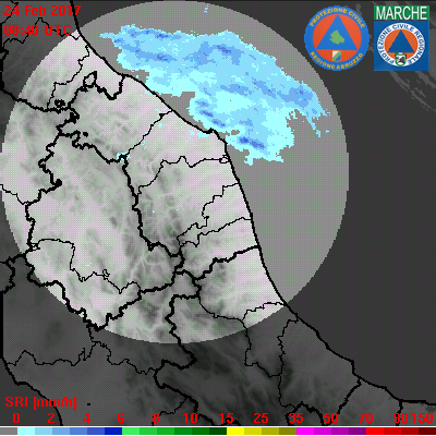
Latest radar images
|
RADAR stands for RAdio Detection And Ranging.
Invented just before World War II for military purpose, it has since been applied to many areas, an important one being weather monitoring. Through detecting raindrops in the atmosphere, the weather radar is a very effective tool for monitoring severe rain evolution. A weather radar detects rain in the atmosphere by emitting pulses of microwave and measuring the reflected signals from the raindrops. In general, the more intense the reflected signals, the higher will be the rain intensity. The distance of the rain is determined from the time it takes for the microwave to travel to and from the rain. Generally, weather radars are classified by the frequency band used. The mostly used weather radars are C-Band, S-Band and X-Band radars respectively. The latter radars operate on a frequency of 8-12 GHz and are very suitable for mobile radar applications by exploiting the benefit of easiness to transport and deploy and the high spatial and temporal resolution achievable at small antenna sizes. The drawback is that X-band signals may be heavily attenuated in intense rainfall, such as that found in convective systems so they are used for only short range weather observation. Within Adriaradnet project 4 X-band miniradar have been installed in Abruzzo and Marche Regions, in Italy and in Croatia and Albania. See below their latest images. |


